GPS Guides CLUI to Garmin HQ
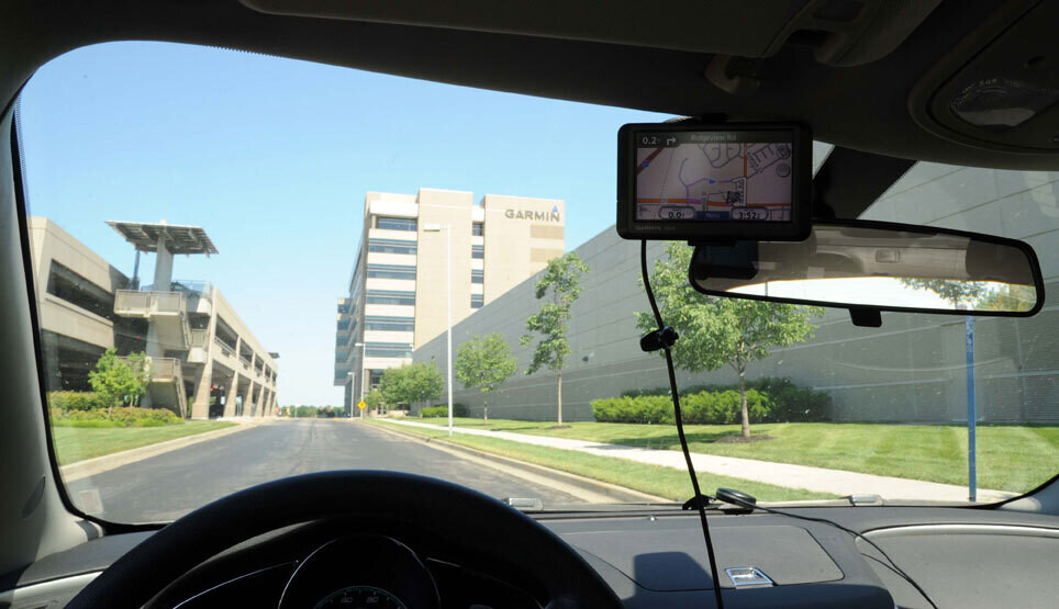 THE CENTRAL PARTS OF THE country draw many logistics industries and infrastructures to it, such as the western railroad’s headquarters, yards and operations centers (in places like Omaha, St. Louis, and North Platte), the continental pipeline and energy company Koch’s headquarters (in Wichita), and the military’s operations centers, like the Strategic Air Command, satellite control centers, and ammunition plants (in Omaha, Colorado Springs, and Kansas City, respectively). Another such headquarters near the middle of the map of the nation is Garmin International, makers of the leading models of consumer GPS units.
Though its parent company is in the UK, the company’s main campus in the USA is located, fairly centrally, in Olathe, Kansas, in the business park sprawl of southwest Kansas City. The company has grown quickly since its inception in 1989, and now employs a few thousand people, most of them here, and at a manufacturing center in Taiwan. The company is vertically integrated, meaning it designs, builds, and markets its products itself, in house, maintaining control over the process, and enabling it to respond more immediately to developments in technology.
The consumer GPS industry boomed in 2000, when the military turned off the intentional interference that reduced its accuracy for non-military users, known as “Selective Availability.” With SA terminated, a consistent accuracy of at least 15 meters could be expected, and the small devices marketed to consumers, for use in aircraft, hiking, cars and boats, became more reliable and popular. Garmin, and their principal competitor, Magellan, based in Silicon Valley, have sold more than 100 million devices since then.
Most of these are the car-oriented GPS units that sit on the dashboard, reading the satellite signals through the windshield, and plotting your position on a map. If queried to do so, the device speaks to you, and tells you where to turn to get you to your planned destination. The accuracy now is uncanny, and is improving all the time, as software is enhanced, and new corrective systems go online.
GPS is still based on the constellation of 24 satellites launched by the US military, 12,000 miles above the earth’s surface, circling the globe twice a day. Each of them is about as big as a car, and transmits their signal with less than 50 watts of power supplied by a solar panel. The signal each satellite emits (at least on the L1 band–the L2 band, also emitted, is more precise, but is available just to the military) is essentially a precise time code which, when compared with others through triangulation, becomes a gauge of distance, since the code’s speed (the speed of light), is a known constant.
There are a lot of variables still affecting accuracy, such as signals reflecting on surfaces, clouds, and other aberrations, but these are being addressed with enhancements which we are beginning to see in GPS units like Garmin’s. The current and most advanced corrective measure is WAAS (Wide Area Augmentation System), which is being developed by the FAA to aid in aircraft navigation. Once completed, it is expected to be precise and reliable enough (better than 3 meters, 95% of the time) to guide airplanes all the way to the runway approach. The system uses a network of around 25 precisely surveyed ground stations that collect information from GPS satellites, compare it with its ground location, and transmit the data back to the satellite networks, and then back to the GPS receivers equipped to read the additional signal. One of these ground stations is at the FAA technical center near the Garmin headquarters, making Olathe, Kansas, another centralized location in groundspace and infospace.
Once available in car-mounted consumer GPS devices, this more precise location information will get us that much closer to where we are going without needing to have any idea where we are. Soon enough all we will have to do is steer around obstacles, and around all the other clueless people. 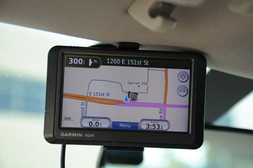
GPS equipped smartphones are taking a bite out of Garmin’s niche. Though too bad for Garmin, one possibly good effect is that at least people can’t talk on the phone if it’s in the midst of telling you where to go. Or maybe there is an app to deal with that already. ♦